It doesn’t matter what species you’re hunting, what region, or what time of year you choose to pursue…you can never have too much information. Information can come to us in a variety of different ways. Direct visual information, which we gain through scouting and running trail cameras and word of mouth, information which can come from interactions with other hunters or landowners, are often the most common we receive. However, one of the most underrated ways in which hunters can attain extremely valuable intel is by simply thinking it out. Hunting maps are arguably the backbone of successful hunting, especially when western hunting or hunting on public land. Reading and understanding aerial images, topography, and the game’s habits/behavior in accordance to these features is a skill that takes years to hone. Hunting maps, are the initial and most valuable information you will use during the life of the hunt. It paves the way for both scouting and trail cameras, and it is often the aerial images that bring everything together to narrow in on your target.
A Picture is Worth a Thousand Words
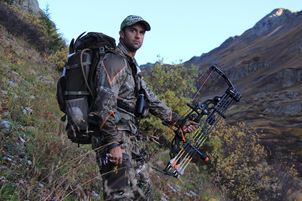
Without question, if you are a DIY hunter then you should be well versed in reading and using hunting maps. DIY hunting is all about creating opportunities, and employing the use of aerial photography and topography helps paint an excellent picture of your surroundings. High-resolution aerial photography, accurate topography representation, and even land ownership/public land access can provide an amazing perspective of your hunting location with great detail. From access points and roads to elevation and habitat changes, identifying key interest points not only sets the hunt up but creates the opportunities that often lead to success.
In today’s world technology has come a long way, and in doing so has made the use of hunting maps easier and more prevalent. For starters, from time to time it was difficult to find accurate and updated aerial hunting maps, and when you did they were rather expensive. Secondly, these maps tended to be low resolution, with large contours which didn’t provide much detail. These maps were hard to handle and were virtually impossible to carry with you to the field. You would have to resort to taking your best mental picture, before leaving camp and leaning on your Vortex Optics and landmarks to ensure you were where you needed to be.
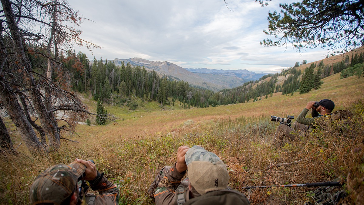
If you were hoping to venture off to public or walk in properties or on some private land, it could be even more difficult to not only accurately locate private land boundaries but locate landowner information. Often this is even more difficult to locate than the aerial photography and hunting map itself. Both of which made it difficult to gain hunting permission on private land. You were often left with simply knocking on doors until you happened to visit with someone who could provide you with a lead or the information you needed, which can be a little uncomfortable and time consuming. Public land, often in giant parcels, can still get overwhelming with access and boundaries alone, not to mention some hard hunting terrain. One such hunt that shows exactly how and why hunting maps are so valuable is the DIY mountain goat hunt in Colorado.
Some of the most rugged terrain you will encounter when hunting created a scenario that would have been impossible without the use of hunting maps.
Information in the Palm of Your Hand
Things have sure come a long way since the days of cardboard tubs and paper maps. In the last couple of years, everything that a DIY hunter needs in terms of hunting maps has now been made to be available at the touch of a button. This access is right in the palm of your hand, from a hunter’s smartphone to a GPS unit, hunters can stay mobile and effective.
Without a doubt, the Hunt app by OnXMaps has completely changed the way we not only scout but hunt as well. OnXMaps has gone above and beyond to design an application with the DIY hunter in mind.
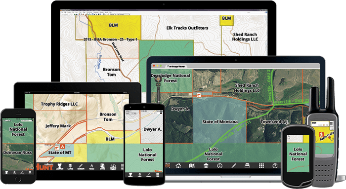
OnXMaps provides and interactive base layer that provides amazing quality and clarity, and will give you a bird’s eye view of the areas you hunting. The imagery is of such high quality, wildlife trails are even visible in some areas. The base layer that comes standard on the Hunt app from OnXMaps lists major rivers and tributaries, as well as major roadways all the way down to two track county roads. All of this is incredibly valuable information when it comes to planning and initial scouting. In addition to these useful attributes, the Hunt app comes standard with landowner parcel information which is almost invaluable when you are talking about going on a DIY hunting trip, or you are looking for private land opportunities.
On the second installment of this two-part series, we will dive into the functions and attributes of the Hunt app by OnXMaps and provide you with some useful tidbits for navigating this amazingly valuable application! In the meantime, we wish you good luck and happy hunting!